08/17/2025 - 08/23/2025
Climate in the News:
Some of the hottest temperatures yet for the year occurred last week. Many stations in Arkansas broke daily temperature records on Sunday, Monday, and Tuesday. Tennessee also broke long-term temperature records on Tuesday in several stations, including Nashville, Dyersburg, and Memphis. Flippin, Arkansas, and Clarksville, Tennessee, experienced some of their hottest temperatures recorded in August. A few newer stations in Mississippi, with records dating back to just the early 2000s, broke daily records on Sunday and Monday. Many stations across the Southern Region also experienced hot minimum temperatures in the first half of the week. The humid air inhibited the usual nighttime cooling, further stressing the limits of biological heat tolerance. High minimum temperatures can aggravate heat-related illnesses.

Recent daily records for the high maximum temperature on August 19, 2025. Source: srcc.tamu.edu/extremes
Weather Synopsis:
Last week was hot for most of the Southern Region. A middle-atmosphere "ridge" (the hill-shaped brown lines indicated by the arrow) and high-pressure centers brought stable air over it to the Southern Region. By late Monday, areas of low pressure formed, and two cold fronts swept throughout the rest of the week. A cold front stalled over East Texas, southern Louisiana, and Coastal Mississippi by the end of the week. Such conditions allowed for abundant rainfall across the Southern Region from Monday through Saturday.

Weather Prediction Center’s 500mb Analysis valid 6 am CDT on August 19, 2025.
Temperature:
Climatologically, August is the hottest month of the year for the Southern Region, with an exception for Tennessee. The Region often sees daily average temperatures in the mid 80s.


Last week, most of the Southern Region felt warmer than normal. Daily average temperatures were abnormally low in areas that felt persistent northerly winds and several days of rainfall. Otherwise, portions of every state experienced 3-6 degree Fahrenheit above average temperatures, especially in Arkansas and Tennessee. The week’s hottest temperatures occurred on Tuesday and Wednesday, mostly in Arkansas, Oklahoma, and South Texas.
Precipitation:
With most of the Region located in a humid subtropical climate, rainfall occurs at any point of the year. During the summer months, sea breezes initiate thunderstorms and rain showers, which are quite common along the coastal areas. Tropical systems begin to impact the Southern Region’s weather patterns both directly and indirectly.


Widespread but light rainfall occurred across the Southern Region, especially in Texas and Louisiana. Several disturbances and a cold front produced rainfall in the second half of the week. The week’s highest accumulations were along the Upper Texas Coast and in Eastern Texas, where over 7.42 inches were recorded. Parts of Tennessee, Mississippi, Louisiana, and Oklahoma also recorded 3 to 5 inches of rainfall.
Drought:

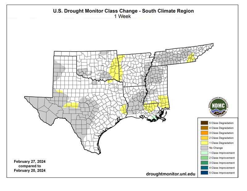
Hot, humid conditions and a persistent lack of rainfall exacerbated abnormally dry conditions and intensified drought. Across the Southern Region, overall coverage of Abnormal Dryness (D0) to Exceptional Drought (D4) increased by just over 7% from the previous week. Arkansas is experiencing a flash drought with conditions deteriorating quickly, as overall coverage affects nearly the entire state. Abnormal dryness expanded to cover most of Arkansas, and many dry areas worsened to Moderate Drought (D1) with several areas degrading to Severe Drought (D2) designation. Dry conditions and Moderate Drought (D1) expanded across Oklahoma, Mississippi, Tennessee, and Louisiana. In Texas, exceptional and extreme drought conditions continue to plague part of the far southern Edwards Plateau / South Central Region, and a small portion of the southern Trans Pecos along the Big Bend. Heavy rains that flooded south-central Texas counties from the beginning of August have eased the drought there. Abnormally dry conditions expanded toward the coast in the South, and spots developed in the Panhandle, North Central, and East Texas. Last week’s precipitation, discussed above, will be considered in the next assessment of the drought monitor.